ArcGIS入门与实践:地理信息系统探索
下载需积分: 9 | PDF格式 | 9.11MB |
更新于2024-07-27
| 165 浏览量 | 举报
"ESRI_Getting Started with ArcGIS" 是一本针对地理信息系统(GIS)初学者的指南,旨在帮助读者掌握ArcGIS这款强大的地理信息处理软件。ArcGIS是环境系统研究 institute (ESRI) 开发的一款广泛应用于地图制作、数据分析和空间信息管理的工具。这本教程涵盖了多个关键主题,包括但不限于:
1. **GIS基础知识**:从介绍GIS的基本概念、数据类型(如矢量数据和栅格数据)以及数据采集与管理开始,使读者理解地理信息系统的运作原理。
2. **地图制作**:涵盖如何创建地图,包括基础图层添加、符号系统设计、地图投影的选择,以及如何利用ArcGIS的各种工具进行地图定制。
3. **数据分析**:通过案例研究展示如何使用ArcGIS进行空间分析,如缓冲区分析、聚类分析、叠置分析等,以支持决策制定。
4. **遥感与影像处理**:教授如何获取遥感数据、解译卫星图像,以及如何对影像进行预处理和分析。
5. **GIS在特定领域的应用**:涉及到如房地产、城市规划、环境科学、农业、交通等领域中的GIS实践,让读者看到实际工作中的应用场景。
6. **技术细节与功能**:深入探讨ArcGIS的高级功能,如网络分析、地理编码、空间索引,以及如何编写Python脚本进行自动化操作。
7. **互联网和GIS集成**:介绍了如何将GIS数据与Web服务集成,创建交互式地图网站,以及使用ArcGIS Online进行协作。
8. **商业应用与营销**:对于那些关注收入来源的人来说,还包括了如何通过GIS技术进行在线营销,比如营养补充品的销售推广、网站优化和流量建设策略。
9. **专业发展与学习路径**:为对GIS有长远兴趣的人提供学习资源,如在线课程、论坛讨论、博客、电子书以及职业发展建议。
"ESRI_Getting Started with ArcGIS"是一本实用的教程,旨在帮助用户跨越GIS技术的入门门槛,提升技能,并在各自领域中有效地应用这一工具来解决实际问题和创造价值。无论你是GIS新手还是希望提升现有能力的专业人士,都能从中获益匪浅。

WELCOME TO ARCGIS 9
You can use ArcGIS in different ways, depending on the
complexity of your needs.
Some people use ArcGIS primarily as a single-user
mapping and analysis tool, usually in the context of a well-
defined, finite project. This common use of ArcGIS is
sometimes called project GIS. Other people use ArcGIS in
a multiuser system designed to serve an organizations
ongoing needs for geographic information. Multiuser GIS
is sometimes divided into departmental and enterprise GIS,
according to a systems level of complexity and integration
with the day-to-day operation of an organization.
This book presents ArcGIS in the context of project GIS
because a project is a good, self-contained way to explore a
variety of basic GIS functions.
Project GIS
In a GIS analysis project, an analyst faces a variety of tasks
that can be grouped into four basic steps.
The first step is to convert a question, such as Where is
the best place for a new building? or How many potential
customers are near this store?, into a GIS database design
and an analysis plan. This involves breaking the question
into logical parts, identifying what layers of data will be
needed to answer each part, and developing a strategy for
combining the answers to each part of the question into a
final answer.
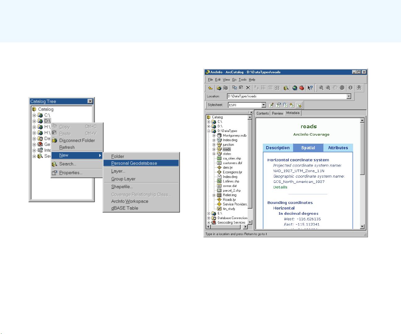
The next step is to create a database that contains the
geographic data required to answer the question. This may
involve digitizing existing maps, obtaining and translating
electronic data from a variety of sources and formats,
making sure the layers are of adequate quality for the task,
making sure the layers are in the same coordinate system
and will overlay correctly, and adding items to the data to
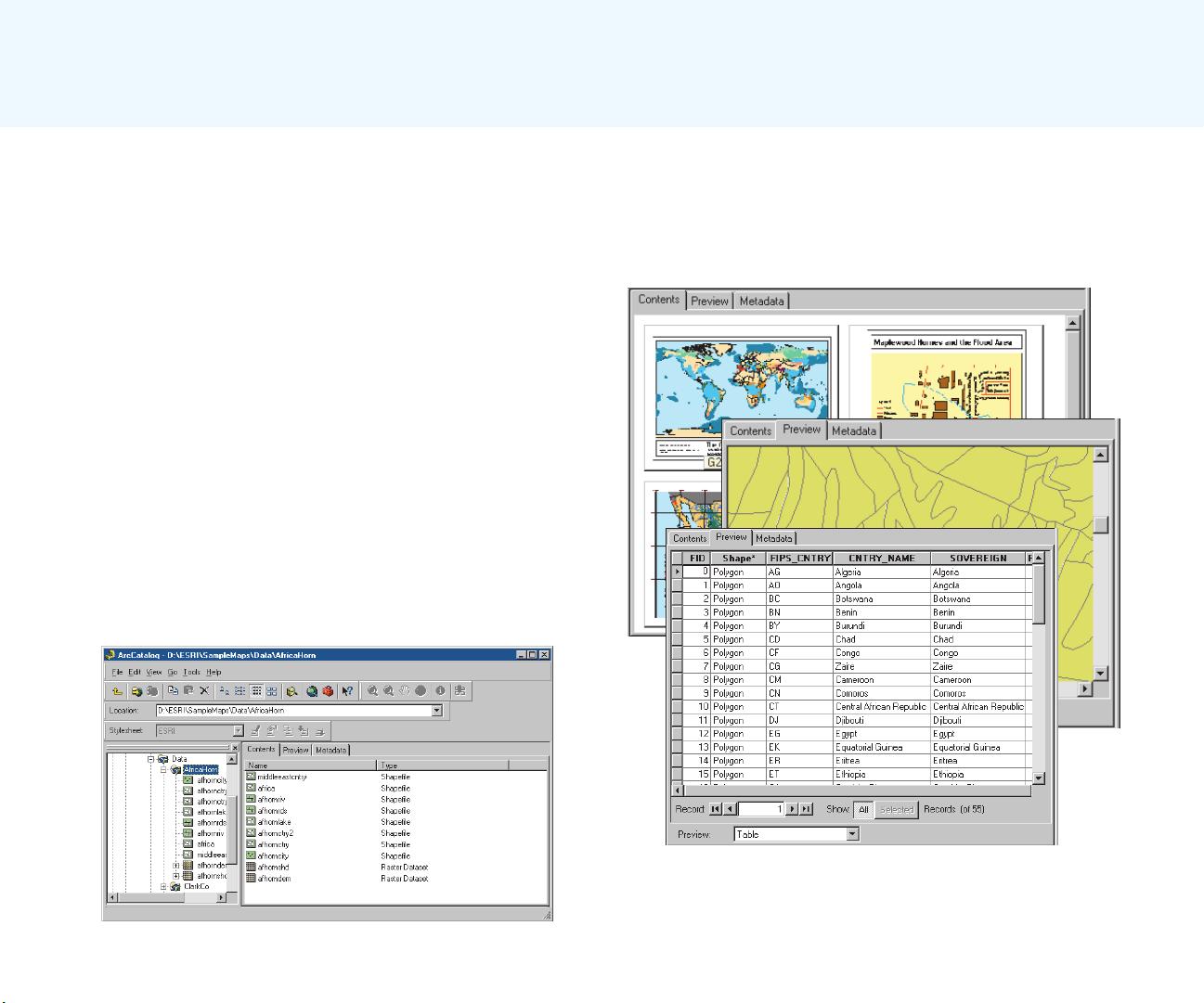
track analysis result values. Personal workspaces of file-
based data and personal geodatabases are used to organize
project GIS geodatabases.
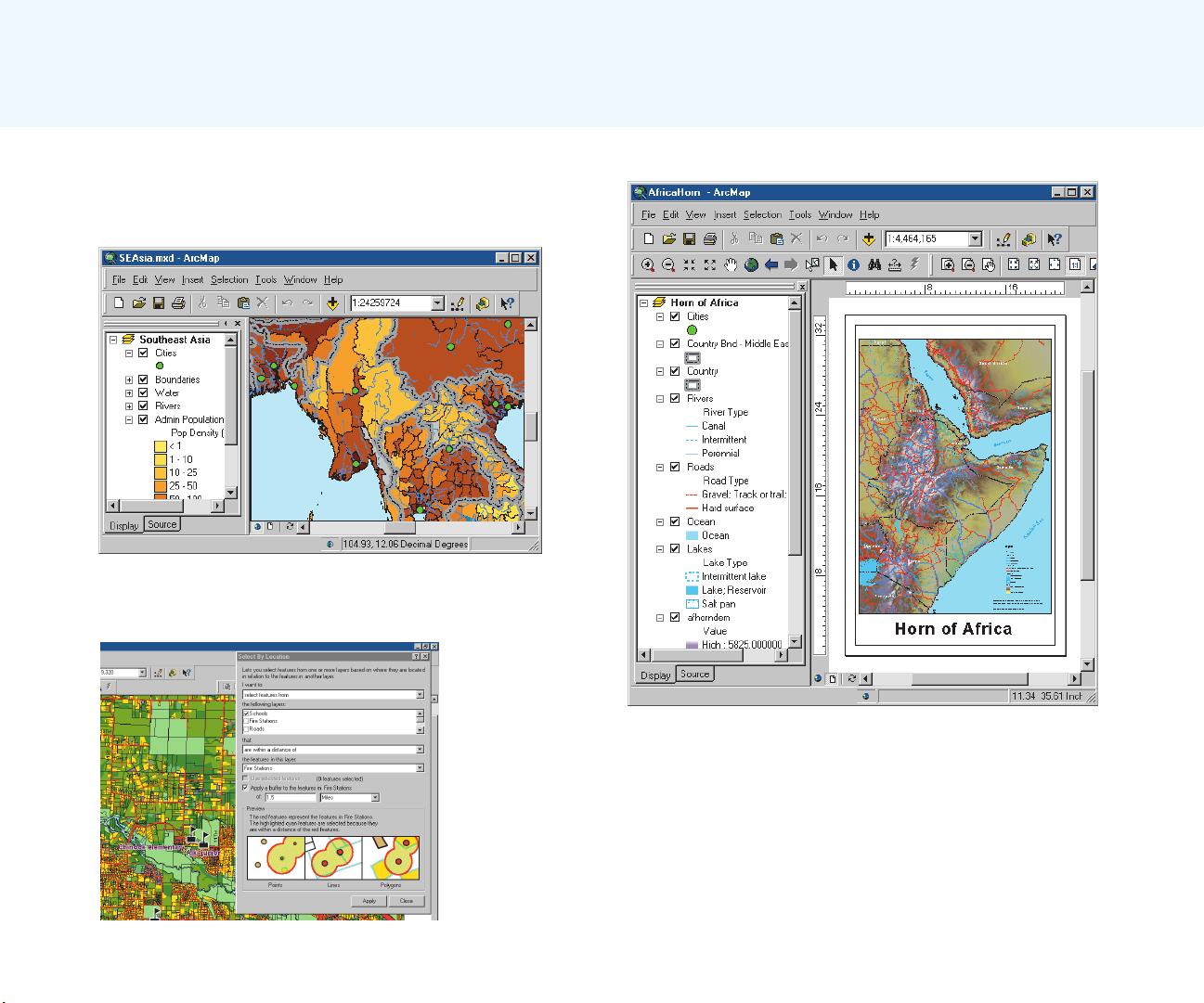
The next step is to analyze the data. This usually involves
overlaying different layers, querying attributes and feature
locations to answer each logical part of the question,
storing the answers to the logical parts of the question, and
retrieving and combining those answers to provide a
complete answer to the question.
The final step in a project-based analysis is to
communicate the results of the analysis, usually to people
who do not use GIS and who have different levels of
experience in dealing with maps. Maps, reports, and graphs
are all used, often together, to communicate the answer to
the question.
Multiuser GIS
In a multiuser GIS, people in an organizationfrom a few
in a single office to hundreds in different branchesuse
the GIS in different ways to support their daily tasks.
Departmental GIS refers to systems developed within a
single department to support a key function of the
department. For example, a planning department might
routinely use GIS to notify property owners of proposed
zoning changes near their property.
A departmental GIS is usually managed within the
department and often has specialists devoted to different
Unique projects to daily business
ch01.p65 02/15/2001, 9:17 AM9

剩余260页未读,继续阅读
相关推荐


XuTianXiang_JIANGSU
- 粉丝: 64
 我的内容管理
展开
我的内容管理
展开


最新资源
- Aspose.Cells5.3.1 Excel文件操作使用教程
- 使用Tensorflow实现AlexNet微调与图像识别
- Cocos2d-x Lua基础开发技巧与多平台应用
- 北大数据库原理与应用全套课件下载
- 径向压缩机设计与压缩机布置技术文档分析
- Flutter实现PageView转换效果示例教程
- 实现功能丰富的在线音乐播放平台
- 部署应用到Heroku与Firebase的实践指南
- Android开发实践:便签应用案例分析
- 批量修改MP3文件标签的实用工具发布
- 挖掘机焊接用D形梁脱模机构设计文档
- 轻松录制屏幕操作的源代码工具
- SEO优化秘籍:黄页推广大师的威力
- HalftonePAL: 点线半色调处理工具的创新应用
- 超级双驱动器:Java技术驱动的前沿创新
- 基于ffmpeg和SDL的简易视频播放器应用
