没有合适的资源?快使用搜索试试~ 我知道了~
首页ARCGIS制图配色参考.pdf
资源详情
资源评论
资源推荐
Cartographic Perspectives
Journal of the
North American Cartographic
Information Society
SPECIAL MOUNTAIN CARTOGRAPHY ISSUE
Number 67, Winter 2010
Cartographic Perspectives, Number 67, Winter 2010 1
Cartographic Perspectives
Journal of the
North American Cartographic
Information Society
SPECIAL MOUNTAIN CARTOGRAPHY ISSUE
Number 67, Winter 2010
In thIs Issue
LETTER FROM THE GuEsT EDITORs
Bernhard Jenny and Tom Patterson
FEATuRED ARTICLEs
Mountain Ski Maps of North America: A Preliminary Survey and Analysis of Style
Alex Tait
Accidental cARTographer
Tibor Tóth
Mapping Glacier Bay National Park, Alaska
Tom Patterson
Design and Production of the Himachal Pradesh Topographic Overview Map, 1:500,000
David Schobesberger, Karel Kriz, Markus Breier
Terrain Sculptor: Generalizing Terrain Models for Relief Shading
Anna M. Leonowicz, Bernhard Jenny, Lorenz Hurni
Visual Fields
Elbie Bentley
Practical Cartographer’s Corner
Alex Tait
Book Reviews
Various Reviewers
Instructions to Authors
5
19
29
43
51
61
3
63
75
83
Cartographic Perspectives, Number 67, Winter 20102
EDITOR
Fritz Kessler
Department of Geography
Frostburg State University
230 Gunter Hall
101 Braddock Blvd
Frostburg, MD 21532
(301) 687-4266
(301) 687-4495 fax
fkessler@frostburg.edu
ABOuT THE COVER
The map of “Switzerland during the Last Glacial Maximum (LGM), 1:500,000”
shows the maximum extent of glaciation in Switzerland at the height of the last Ice
Age about 24,000 years ago. The Swiss Commission for Quaternary Research
SKQ and Prof. Christian Schlüchter of the Institute for Geological Sciences at the
University of Bern gathered the data and coordinated the scientific work. The
Federal Office of Topography swisstopo is responsible for the cartographic work.
The map published in 2009 presents the latest results of research on the Ice Age
in Switzerland.
A digital version of the map is available for free from www.swisstopo.admin.ch >
Products > Maps > Geological maps > Geological maps 1:500,000
Reproduced with the authorisation of swisstopo (JA100120)
Cartographic Perspectives
Journal of the
North American Cartographic
Information Society
©2010 NACIS ISSN 1048-9085
www.nacis.org
Close-up of “Switzerland during the Last Glacial Maximum (LGM), 1:500,000”
COPYRIGHT NOTICE
Unless otherwise noted, NACIS holds the
copyrights to all items published in each
issue. The opinions expressed are those
of the author(s), and not necessarily the
opinion of NACIS.
Guest edItors
GuEsT EDITOR
Bernhard Jenny
Institute of Cartography
ETH Zurich
jenny@karto.baug.ethz.ch
COPY EDITOR
Mary Spalding
Potomac State College of
West Virginia University
GuEsT EDITOR
Tom Patterson
US National Park Service
Harpers Ferry, WV, USA
tom_patterson@nps.gov
MANAGING GuEsT EDITOR
Tanya MA Buckingham
UW-Madison Cartography Lab
tbuckingham@uwisc.edu
WORDCLOuD ABsTRACTs
The wordclouds featured in the
abstracts were produced using Wordle
(http://www.wordle.net/). Complete
text from each article was included.
Cartographic Perspectives, Number 67, Winter 2010 3
Letter FroM the Guest edItors
is special mountain cartography issue of Cartographic Perspectives features papers
by members of the Commission on Mountain Cartography, a special interest group
of the International Cartographic Association (ICA). e commission focuses on
a range of issues related to the mapping of mountains—peaks, clis, scree, glaciers,
and various other types of rough terrain. Mapping such extreme places presents
challenges. For example, standard mapping techniques often do not apply, and
collecting good geospatial data of high mountains is an ongoing challenge despite
technology advances. ere also is a cultural aspect to mountain mapping. Many
mountain dwellers live under the threat of gravity-induced natural hazards, from
avalanches to mudslides to damn bursts, which maps can help them better understand
and deal with. But mountains have also long been a source of inspiration for those
who visit and map them alike, prompting cartographic innovation. e well-known
maps of Heinrich Berann, Richard Edes Harrison, Eduard Imhof, Hal Shelton, and
Bradford Washburn highlight just some of the contributions by those engaged in
mountain cartography to the profession as a whole. Most papers that follow are a
sampling of those presented at the 2008 Mountain Cartography workshop at Lenk,
Switzerland.
Since its founding in 1999, the Commission on Mountain Cartography has held
biannual workshops at various mountain venues. To date these have included the
Austrian Alps (2000), Mount Hood in the USA (2002), the Spanish Pyrenees
(2004), the Julian Alps of Slovenia (2006), the Swiss Alps (2008), and the Carpathian
Mountains of Romania (2010). e workshops have attracted an increasing number
of presenters, reaching almost 60 participants at the last two workshops in 2008 and
2010. In addition to the formal program, the relaxed atmosphere of the workshops
is conducive for catching up with old friends and making new ones. A workshop
tradition is to devote the last day to outdoor activities for a range of interests
and abilities, from ski touring to curling, or hiking, depending on the season. e
workshops typically occur over three days in either late February or early September.
e workshop participants represent diverse backgrounds and interests, but share a
common passion for mountain mapping. e presentations take many forms. ese
include longer academic papers, Pecha Kucha-style short presentations, software
demonstrations, panel discussions, and posters. e presentation topics generally fall
Cartographic Perspectives, Number 67, Winter 20104
into four thematic groups. In the rst group are techniques, software, and ideas about
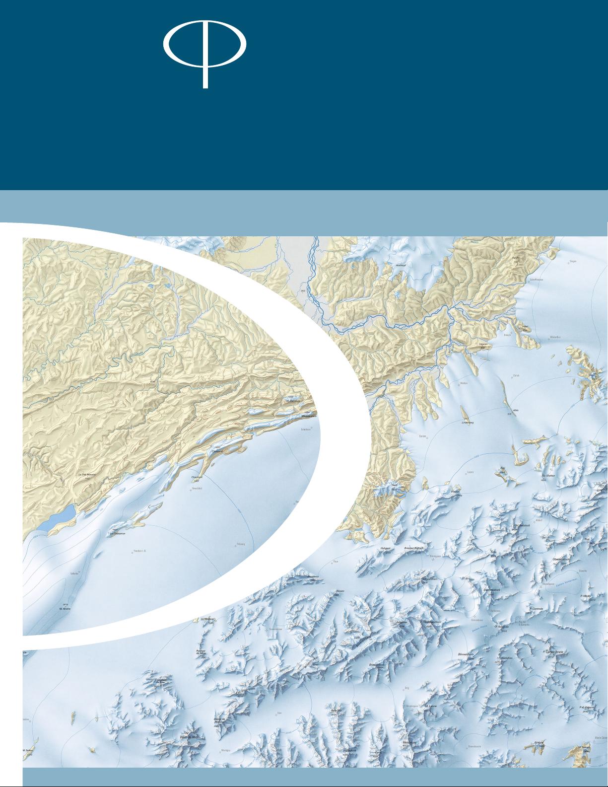
2D or 3D relief mapping, which are topics of recurring interest. is includes the
related pursuits of contouring, relief shading, rock drawing, and vegetation mapping.
e second group covers the monitoring of mountain environments and thematic
mapping. e survey and visualization of glacier movements, and the mapping of
avalanches and other mountain hazards are common topics in this category. e
third group focuses on information systems and digital maps of mountain areas used
by tourists and outdoor recreation enthusiasts. And, the fourth group concentrates
on historical mountain mapping, looking at the activities of cartographers and
expeditions from the past and their rich contributions to our profession. However,
many of the workshop presentations are on alternative and innovative topics that do
not t into these neat groups.
is special issue contains three papers from North American and two papers from
European authors. e rst paper by Alex Tait (International Mapping, USA)
examines maps of alpine ski resorts in North America. He compares the graphical
styles of trail maps of more than 400 resorts, and traces the history of past and
present artists, such as James Niehues, Hal Shelton and Bill Brown. e paper by
Tibor Tóth (Tóth Graphix, USA) looks back on his forty-year career as a relief
artist, much of it spent at the National Geographic Society. He discusses the manual
development of relief art created by pencil, airbrush, and acrylic painting, and ends
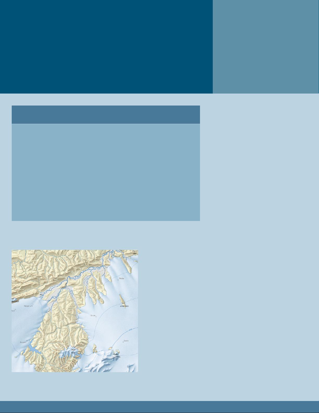
with digital relief shading. Tom Patterson (US National Park Service) discusses the
making of a National Park Service map of Glacier Bay. He describes the various
steps leading to a brochure map of this wilderness park visited mostly by cruise ship
passengers. e paper examines various mountain-mapping challenges, including
shaded relief, land cover, glaciers, ord bathymetry, braided rivers, and place names.
David Schobesberger and his coauthors (University of Vienna, Austria) describe the
design of a map of mountainous Himachal Pradesh, India. e aim of this map is to
support an interdisciplinary research network focusing on the cultural history of the
western Himalayas. Schobesberger’s paper describes data compilation from a variety
of mostly suboptimal sources, starting with maps originally surveyed by the colonial
British and ending with satellite imagery. e main author of the last paper is Anna
Leonowicz (University of Zurich, Switzerland). Her paper discusses Terrain Sculptor,
a new freeware application that prepares generalized terrain models for relief shading.
For additional mountain cartography readings and to learn more about the ICA
Commission on Mountain Cartography, visit http://mountaincartography.org/. e
website oers the proceedings of past workshops, the commission’s terms of reference,
a list of commission members, and information about the next scheduled workshop.
We would welcome your participation.
Bernhard Jenny and Tom Patterson
Institute of Cartography US National Park Service
ETH Zurich Harpers Ferry, WV, USA
剩余85页未读,继续阅读
cgaw1010
- 粉丝: 3
- 资源: 20
上传资源 快速赚钱
- 我的内容管理 收起
- 我的资源 快来上传第一个资源
- 我的收益 登录查看自己的收益
- 我的积分 登录查看自己的积分
- 我的C币 登录后查看C币余额
- 我的收藏
- 我的下载
- 下载帮助
会员权益专享
最新资源
- RTL8188FU-Linux-v5.7.4.2-36687.20200602.tar(20765).gz
- c++校园超市商品信息管理系统课程设计说明书(含源代码) (2).pdf
- 建筑供配电系统相关课件.pptx
- 企业管理规章制度及管理模式.doc
- vb打开摄像头.doc
- 云计算-可信计算中认证协议改进方案.pdf
- [详细完整版]单片机编程4.ppt
- c语言常用算法.pdf
- c++经典程序代码大全.pdf
- 单片机数字时钟资料.doc
- 11项目管理前沿1.0.pptx
- 基于ssm的“魅力”繁峙宣传网站的设计与实现论文.doc
- 智慧交通综合解决方案.pptx
- 建筑防潮设计-PowerPointPresentati.pptx
- SPC统计过程控制程序.pptx
- SPC统计方法基础知识.pptx
资源上传下载、课程学习等过程中有任何疑问或建议,欢迎提出宝贵意见哦~我们会及时处理!
点击此处反馈
安全验证
文档复制为VIP权益,开通VIP直接复制
信息提交成功
评论1